
EMERALD ISLE, NORTH CAROLINA
Emerald Isle Area Guide
A practical guide to Emerald Isle and western Bogue Banks, including beach access, schools, parks, boating, everyday services and the neighboring island communities that shape life on this part of the Crystal Coast.
ABOUT EMERALD ISLE
A residential beach town at the western end of Bogue Banks
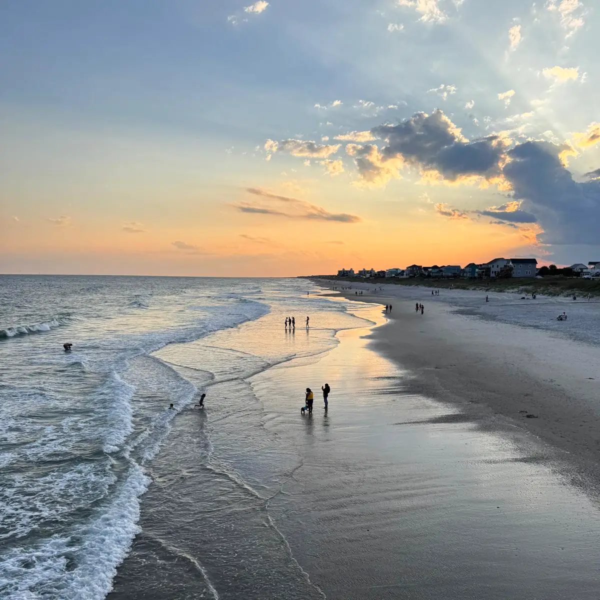
Emerald Isle occupies the western end of Bogue Banks, with the Atlantic Ocean on one side and Bogue Sound on the other. The town has about 4,000 year-round residents, while the population rises sharply during the summer season.
The westernmost thirteen miles of Bogue Banks were purchased for development in 1954, and Emerald Isle was incorporated in 1957. Despite decades of growth, the town still feels more residential than many larger beach destinations.
Ocean access, boating, fishing, cycling and the sound are part of everyday geography here rather than separate attractions.
≈ 4K
Year-round residents
Small-town population
13
Miles of Bogue Banks
Western island section
11
Miles of Emerald Path
Bike and pedestrian route
41
Acres
Emerald Isle Woods Park
Since 1957
Incorporated
Town of Emerald Isle
Places to know along Bogue Banks
Bogue Banks is a chain of coastal communities and landmarks rather than one continuous town. These four places provide the clearest orientation from Emerald Isle eastward along the island.
Emerald Isle
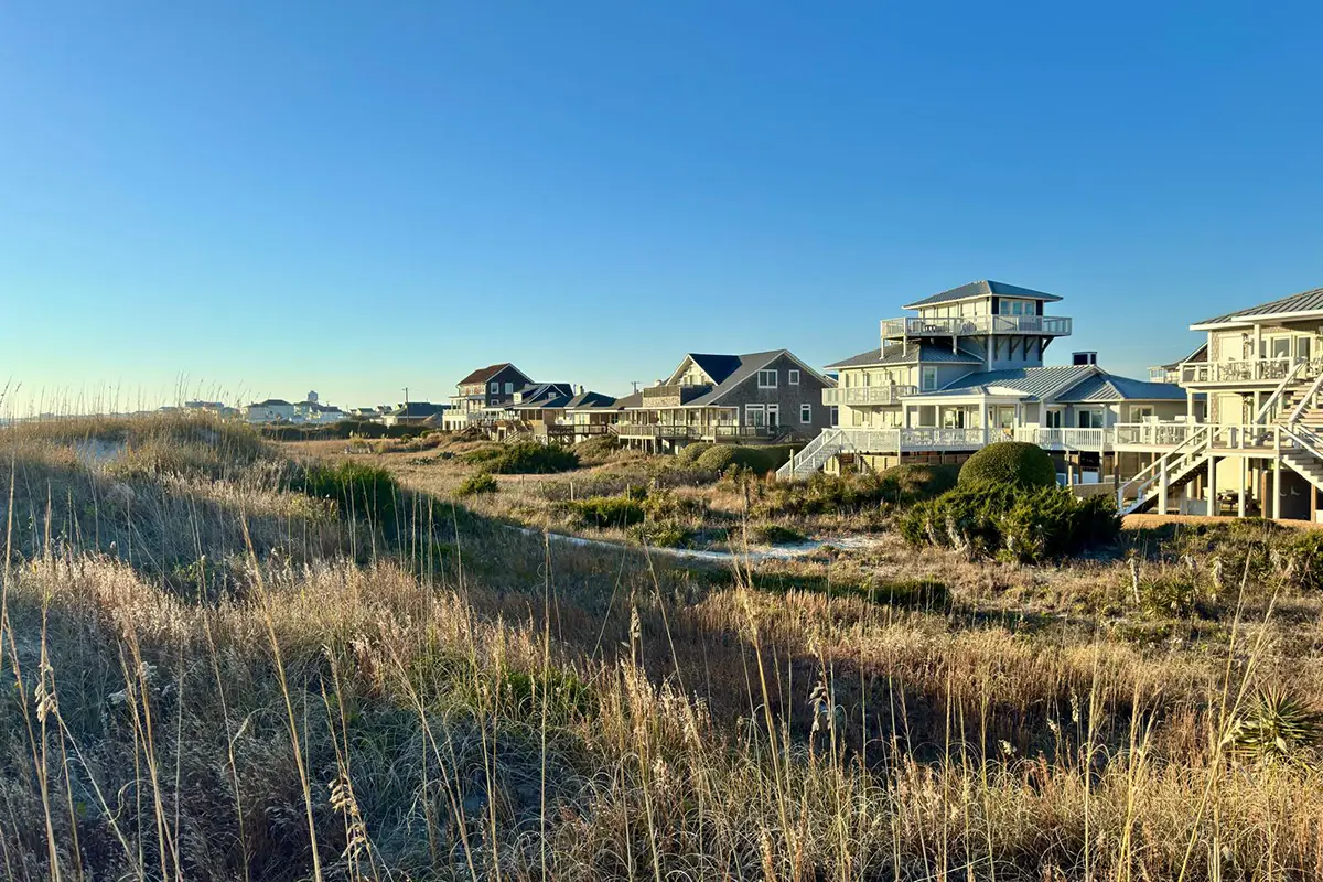
The largest community on western Bogue Banks, with year-round neighborhoods, beach access, parks, local businesses and direct access to Bogue Inlet and the mainland bridge.
Pine Knoll Shores
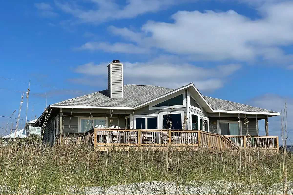
A quiet residential town east of Emerald Isle, known for maritime forest, ocean and sound access and the North Carolina Aquarium at Pine Knoll Shores.
Atlantic Beach
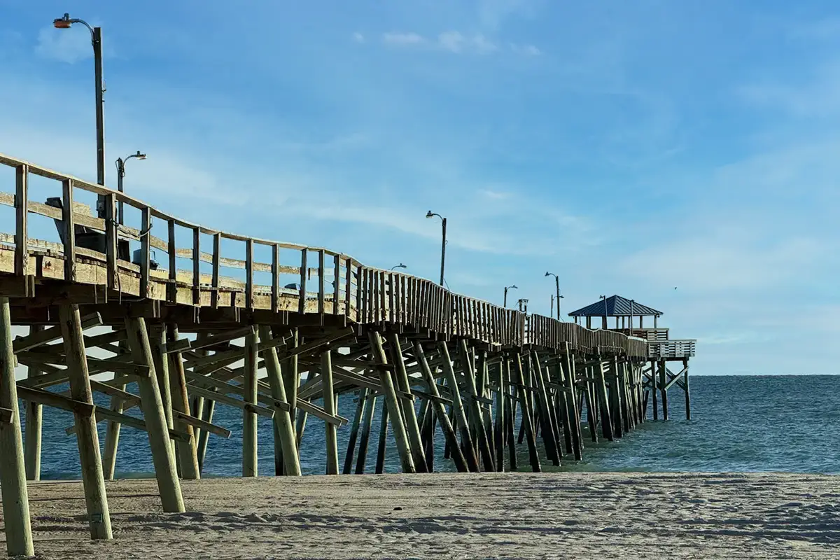
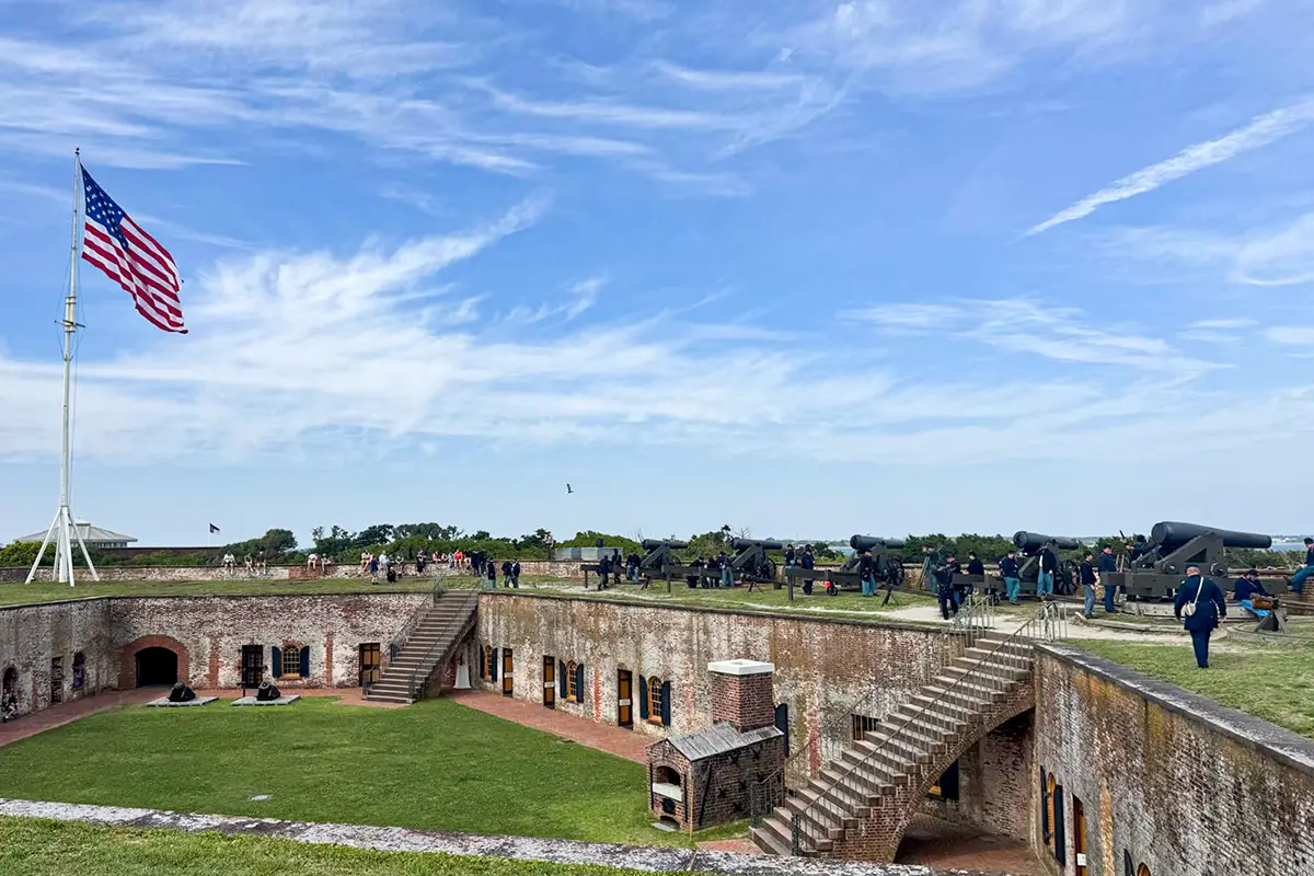
A larger oceanfront town at the eastern end of Bogue Banks, with public beach access, restaurants, shops and direct access to Fort Macon State Park.
Fort Macon State Park
A major coastal landmark at the eastern tip of Bogue Banks, combining a restored Civil War fort with beaches, maritime forest, trails, fishing and views across Beaufort Inlet.
SCHOOLS & EDUCATION
Carteret County schools serving western Bogue Banks
Emerald Isle is part of Carteret County Public Schools. Current attendance boundaries place Emerald Isle students at White Oak Elementary School, Broad Creek Middle School and Croatan High School.
School assignments are address based and should always be confirmed through the district's current boundary lookup.
EDUCATION & REGIONAL SERVICES
College, healthcare and larger services are close by
Carteret Community College and Carteret Health Care are both located in Morehead City, while Cape Carteret and Morehead City provide many of the larger shopping, medical and professional services used by Emerald Isle residents.
This gives the town a quieter residential character without placing regional services far away.
BEACH, SOUND & ISLAND LIFE
Life here is organized around two shorelines
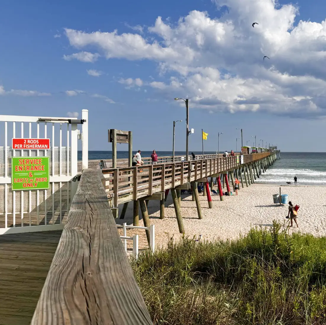
Emerald Isle is narrow enough that the Atlantic Ocean and Bogue Sound are both part of daily life. Public ocean accesses, soundside parks, fishing, kayaking and boating connect the town to both sides of the island.
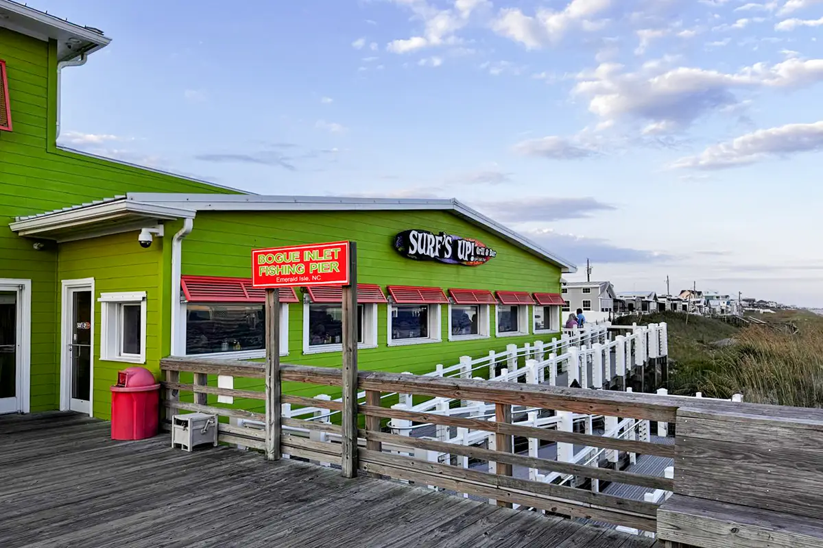
The Bogue Inlet Fishing Pier, public boat-launching facilities and soundside parks make that ocean-and-sound identity especially visible, with fishing, boating and waterfront views woven into everyday island life.
Island character: Atlantic beaches · Bogue Sound · Bogue Inlet Pier · public boat ramps · kayaking · fishing · marshes · sunsets at The Point
EVERYDAY LIFE
Shopping, dining and everyday island life
Emerald Isle is more residential than urban. Most everyday businesses are concentrated along Emerald Drive, where grocery stores, local shops, beach services and casual coastal dining are spread through the central part of town.
Shopping
Groceries, pharmacies, beach supplies, local boutiques and practical services are available on the island, while Cape Carteret and Morehead City add larger retail options on the mainland.
Dining
Dining is casual and strongly coastal, with seafood, waterfront restaurants, pizza, cafes, ice cream, barbecue and familiar vacation-town favorites alongside year-round local establishments.
Island routines
Biking the Emerald Path, walking to the beach, fishing, boating and moving between ocean and sound access points are normal parts of the local rhythm, especially outside the busiest summer weeks.
BEACHES, PARKS & OUTDOORS
More than a beach strand
Emerald Isle offers a broad network of ocean accesses, soundside parks and recreation facilities. The Emerald Path runs for about 11 miles from the Indian Beach town limits to The Point at Bogue Inlet.
Emerald Isle Woods Park adds 41 acres of maritime forest, trails, a floating dock, birding and sound access.
Places to know
Emerald Isle Woods Park
41-acre soundside park with hiking, birding, disc golf and a floating dock.
Eastern Ocean Regional Access
Major public beach-access facility with parking and ocean access.
NC Wildlife Boat Launch
Four launching ramps on Bogue Sound with extensive trailer parking.
The Point
The western tip of Emerald Isle at Bogue Inlet, known for wide views, shelling and sunsets.
GETTING AROUND
One road across the island, one bridge to the mainland
NC 58, known locally as Emerald Drive, is the main road through Emerald Isle and continues east across Bogue Banks. The Cameron Langston Bridge connects the town directly with Cape Carteret and NC 24 on the mainland.
The island is long but simple to navigate. Pine Knoll Shores and Atlantic Beach lie east along the same corridor, with Fort Macon State Park at the far eastern tip of Bogue Banks.
Emerald Isle in perspective
Emerald Isle feels more residential and nature-oriented than the busier commercial centers of the Crystal Coast.
Its defining feature is the balance between ocean, sound, maritime forest and a year-round community that continues well beyond the summer season.